negatives reports
Ancient city of Chersonesos
 - North area
 - South area
 - West area
 - North-East area
 - South-East area
 - Central area
 - Citadel
 - Harbour area
 - Undetermined area
Necropoleis
 - Northern
 - Western
 - Near Karantinnaya bay
 - Undetermined necropolis
Chora
 - Heraclean peninsula
Environs
 - City Environs
 - Remote Environs
Museum
 - Exhibitions
 - Staff
 - Everyday life
Unidentified

Ancient city of Chersonesos


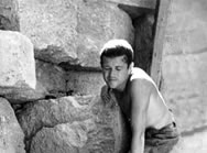
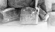
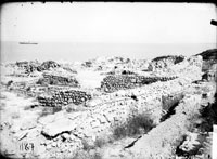
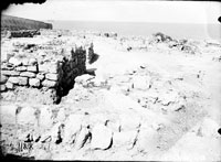
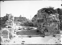
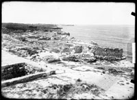
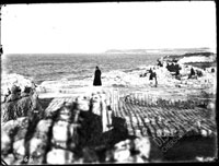
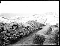
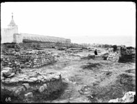
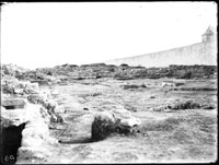
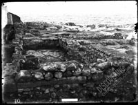
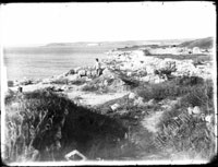
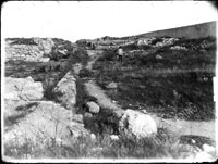
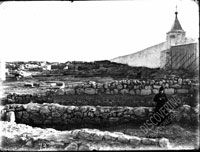
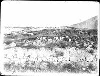
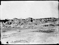
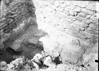
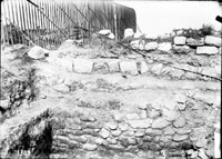
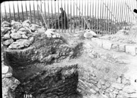
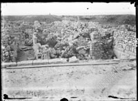
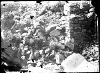
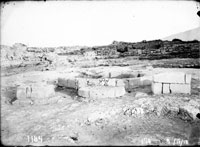
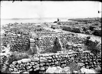
The site of the ancient city of Tauric Chersonesos is located on a large promontory between two bays, Karantinnaya (Russian for Quarantine) and Pesochnaya (Sandy) within the limits of the present-day city of Sevastopol. It covers the area of about 45 hectares. The investigations of the ancient city started in 1827 and continued throughout the nineteenth and twentieth century, with short intervals. By the early twenty-first century, the excavations have uncovered about one-third of the ancient city: defensive walls and towers, churches and public spaces like theater, water reservoir, the so-called mint, thermae (baths), etc. The most important result of the excavations in the ancient city is the discovery of the city layout according to Hippodamean plan: grid of residential quarters of the same size composed by parallel and perpendicular streets. Although modern division of the ancient city into areas is conventional, it is used in archaeological documents.

The division of the ancient city into the areas is a convention; it is made for better orientation of the visitors (real and virtual) in Chersonesos territory. This zoning is performed according to existing tradition which is mentioned in scholarly and popular literature. At the same time, we should mention that there still is a certain confusion as to the numeration of longitudinal and transverse streets (and even of curtain walls and residential quarters), so we have to follow more or less common system of their designation.  


View of the ancient city near Uvarov's BasilicaView of residential quarters near Uvarov's BasilicaInterior viewed from the entrance
General view of Uvarov's BasilicaSection of excavation trench, on the precipice of the seacoast, not far from Uvarov's BasilicaII longitudinal street near the baptistery, baptistery and Uvarov's Basilica
General view of Uvarov's Basilica atriumGeneral view of Uvarov's Basilica atriumUvarov's Basilica atrium
General view of the north aisle and naveUvarov's Basilica atrium before the excavations startedUvarov's Basilica atrium after the excavations
Uvarov's Basilica atrium before the excavations startedSection of Uvarov's Basilica atriumA pit in 1908 excavations in the north-eastern area of the ancient city, near two streets crossing
Above-ground constructions above basements, 1908 excavationsUpper part with above-ground constractions above basements, 1908 excavationsThe so-called public building in the main street
The so-called public building in the main streetAtrium (with fountain) and water-well in the square near Uvarov's BasilicaNorth-east end of the Main Street


Pages: 1    2    3    4    5    6    7    8    9    10    11    12    13    14    15    16    17    18    19    20    21    22    23    24    25    26    27    28    29    30    31    32    33   34    35    36    37    38    39    40    41    42    43    44    45    46    47    48    49    50    51    52    53    54    55    56    57    58    59    60    61    62    63    64    65    66    67